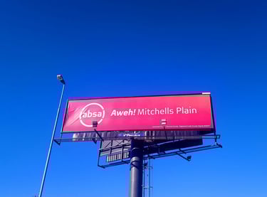
The home of mitchell's plain
History
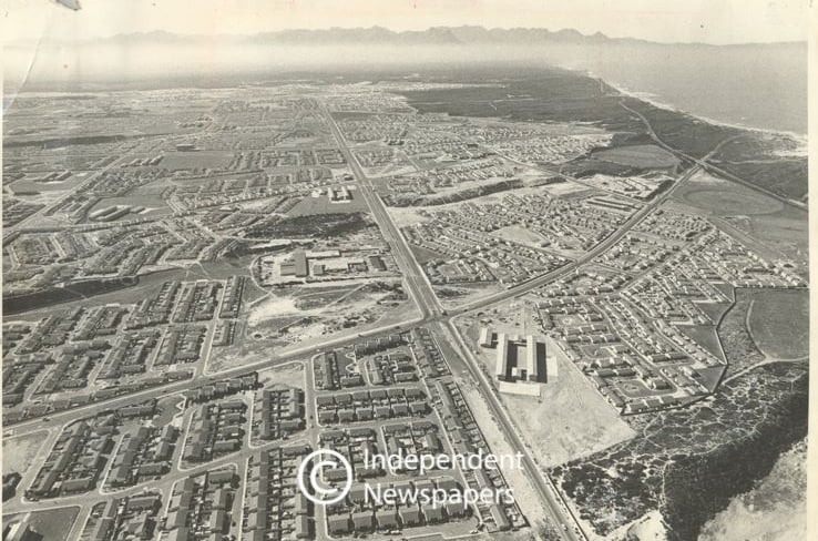
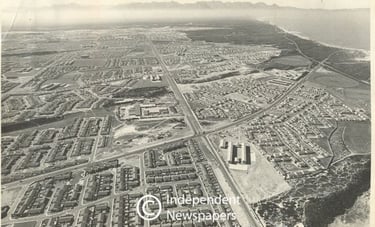
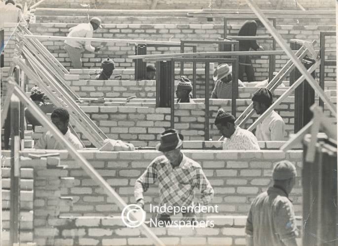
Mitchell’s Plain was created by the apartheid government in the early 1970’s as a Coloured township for middle-income families. The township was laid out in terms of the neighbourhood unit concept with large open spaces, localised public facilities and wide arterial routes. Various forms of housing were provided including, freestanding, semi-detached and duplex housing. However, by the late 80's and 90's, some areas of Mitchells Plain deteriorated into urban ghettos. Gangsterism and drug abuse has increased and a number of informal settlements has sprung up in several areas.
Mitchell’s Plain is a largely Coloured township about 32 km (20 mi) from the city of Cape Town and is one of South Africa's largest townships. It is located on the Cape Flats, on the False Bay coast between Muizenberg and Khayelitsha. Conceived as a "model township" by the apartheid government, it was built during the 1970s to provide housing for Coloured victims of forced removal due to the implementation of the Group Areas Act. Though Mitchell’s Plain is no longer officially a "Coloured township," the overwhelming majority of its residents are still Coloured. The township was reportedly named after Mitchell Baker but this is unconfirmed, and is one of a number of possible explanations.

Mitchell's Plain Today
Today Mitchell’s Plain is one of Cape Town's and South Africa's largest townships with a population of about 290,000 people.
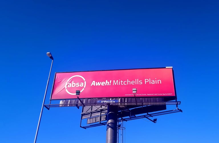
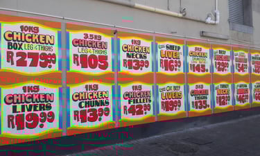
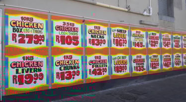
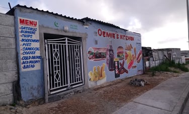
In terms of economic activity, investment is primarily in retail development with Mitchell's Plain being considered as having the strongest level of investment on the Cape Flats. It has a central business district (CBD), locally called the "Town Centre" and three large shopping centres; Promenade Shopping Centre on AZ Berman Drive, Westgate Mall on the corner of Morgenster/ Vanguard Drive and Watergate Centre on the corner of Stock Road/AZ Berman Drive. The Promenade Shopping Centre is the largest with more than 120 stores comprising major clothing, furniture, banks and restaurant chains. Informal economic activity is a significant part of the local economy. Such activity reflects a dominance of retail functions with informal trading responding to market and thus concentrated around the main public transport interchanges and along heavily utilised pedestrian routes.
Public Transport
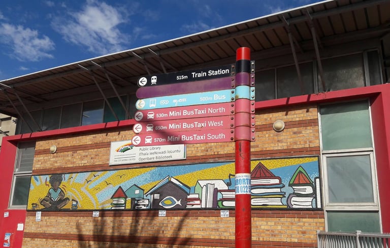
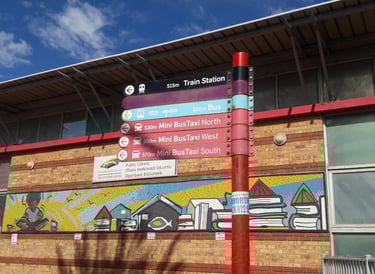
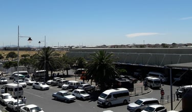
Mitchell’s Plain is reasonably well served by public transport services comprising commuter rail, bus and mini-bus taxi services. There are 3 Cape Metrorail commuter rail stations within the area at Kapteinsklip, Mitchell's Plain and Lentegeur. The rail line extends northwards towards Philippi, Cape Town's CBD and the industrial areas at Epping. The commuter rail service is commonly characterised by overcrowding during morning and afternoon peak periods as well as being unsafe during off-peak periods.
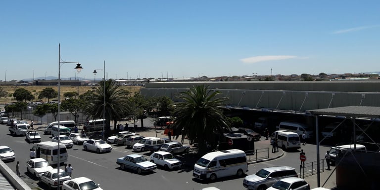
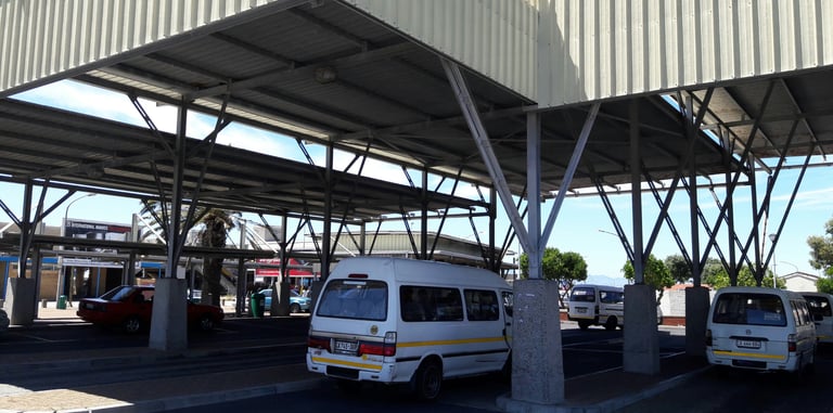
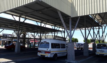
The Mitchell's Plain Public Transport Interchange at the Mitchell's Plain Station include a major bus terminus and taxi rank which provides public transport services (Metro Rail, Golden Arrow and My Citi) to every major employment area within the City of Cape Town during the
morning and afternoon peak periods. There is regular scheduled bus and unscheduled mini-bus taxi services to Cape Town CBD, Claremont, Bellville, Wynberg, and other areas. At more than 30 000 passenger trips per weekday and more than 90,000 passengers daily, it is one of the busiest (if not the busiest) transport interchanges in the city. Recent years have seen significant investment by the local authority in improving and upgrading public transport infrastructure and facilities at the Mitchell's Plain Interchange.
Mitchell's Plain CBD
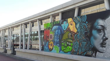
The Mitchells Plain CBD is commonly referred to as the Town Centre by residents. It's a bustling and vibrant shopping district that includes a 58,000 m² retail plaza, a shopping centre over and around the train station, a public library, two major transport interchanges, and informal markets. Informal traders in the Town Centre sells anything from fruit, vegetables, stationary, spices to cosmetics.
Sub-areas
The Mitchells Plain CBD is commonly referred to as the Town Centre by residents. It's a bustling and vibrant shopping district that includes a 58,000 m² retail plaza, a shopping centre over and around the train station, a public library, two major transport interchanges, and informal markets. Informal traders in the Town Centre sells anything from fruit, vegetables, stationary, spices to cosmetics.
Schools
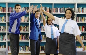
Mitchell’s Plain is home to 85 schools with more being constructed. Some of these schools include Meadowridge Primary School, Aloe Primary, Lentegeur High, Beacon Hill, Oval North, Cedar, Glendale, Rocklands, Spine Road, Mondale, Portland, Princeton, Woodlands, Tafelsig, Imperial Primary, Huegenot Primary and Westridge High.


Social Movements
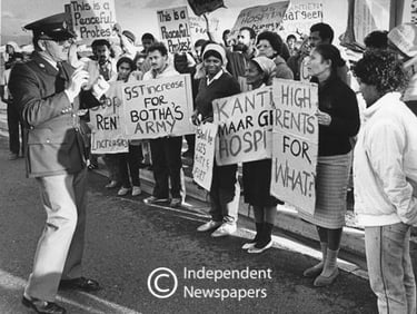
In the latter years of apartheid Mitchell’s Plain became the seat of the launch of the United Democratic Front, a mass democratic movement of community organisations and trade unions fighting against apartheid.
It was launched in August 1983 with such leaders of the people as Dr Allan Boesak, Albertina Sisulu, Helen Joseph, Joe Marks, Trevor Manuel, Mosiuoa "Terror" Lekota and many others present.
The most active social movements and activist organisations in Mitchell’s Plain after apartheid have been the Western Cape Anti-Eviction Campaign, the Treatment Action Campaign and the Mitchell’s Plain Concerned Hawkers and Traders Association. the Mitchell's Plain Backyarders Association, which had strong links to the Western Cape Anti-Eviction Campaign, organised a massive land occupation - The Mitchell's Plain Land Occupation in 2011.


Mitchell's Plain Online
Explore Mitchell's Plain Online.
Contact
Newsletter
info@mitchellsplainonline.com
062-165-2941
© 2026. All rights reserved.